Market Trends
Key Emerging Trends in the Geospatial Market
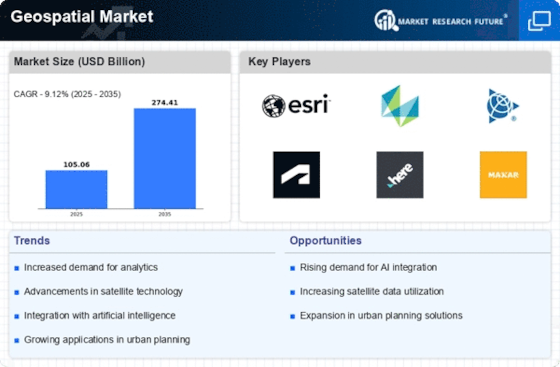
The geospatial market has witnessed significant trends and transformations in recent years, reflecting the growing importance of location-based data in various industries. One notable trend is the increasing adoption of geospatial technologies across sectors such as agriculture, urban planning, transportation, and environmental management. The integration of geospatial data has become crucial for decision-making processes, enabling businesses and organizations to gain valuable insights into spatial patterns and relationships.
Another noteworthy trend is the rise of cloud-based geospatial solutions. With the advancement of cloud technology, many companies are shifting towards cloud-based platforms for storing, processing, and analyzing geospatial data. This shift not only offers scalability and flexibility but also facilitates easier collaboration and data sharing among stakeholders. The cloud-based approach has made geospatial information more accessible, leading to improved efficiency and cost-effectiveness in leveraging location-based insights.
The increasing use of artificial intelligence (AI) and machine learning (ML) in geospatial applications is another key trend. These technologies enhance the capabilities of geospatial systems by automating data analysis, pattern recognition, and decision-making processes. AI and ML algorithms enable the extraction of meaningful information from large datasets, allowing businesses to make more informed decisions based on predictive analytics and real-time insights. This trend is particularly relevant in areas such as predictive maintenance, risk assessment, and resource optimization.
The geospatial market is also witnessing a surge in the development of 3D mapping and visualization tools. Traditional 2D mapping is evolving into more immersive and detailed 3D representations, providing a richer understanding of spatial relationships. This trend is particularly beneficial for applications in urban planning, architecture, and disaster management, where a three-dimensional perspective enhances the ability to analyze and interpret complex spatial data.
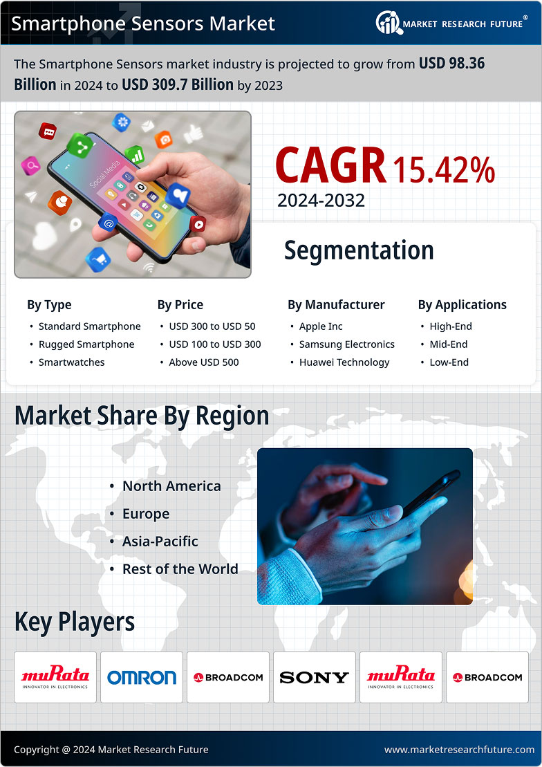
Furthermore, the integration of geospatial technologies with Internet of Things (IoT) devices is gaining momentum. The combination of location-based data with real-time sensor information from IoT devices enhances the monitoring and management of physical assets and infrastructure. This trend is evident in smart cities, where geospatial data plays a crucial role in optimizing traffic flow, energy consumption, and overall urban planning.
In the realm of satellite technology, the miniaturization of satellites and the emergence of small satellite constellations are shaping the geospatial market. These small satellites offer cost-effective and agile solutions for Earth observation, enabling more frequent and detailed monitoring of the Earth's surface. The increased availability of high-resolution satellite imagery contributes to improved mapping, environmental monitoring, and disaster response.


Leave a Comment